
Preserved Towers Directory
Trace five standing beacons along the northern shore, each noted for setting, access, and local maritime memory.
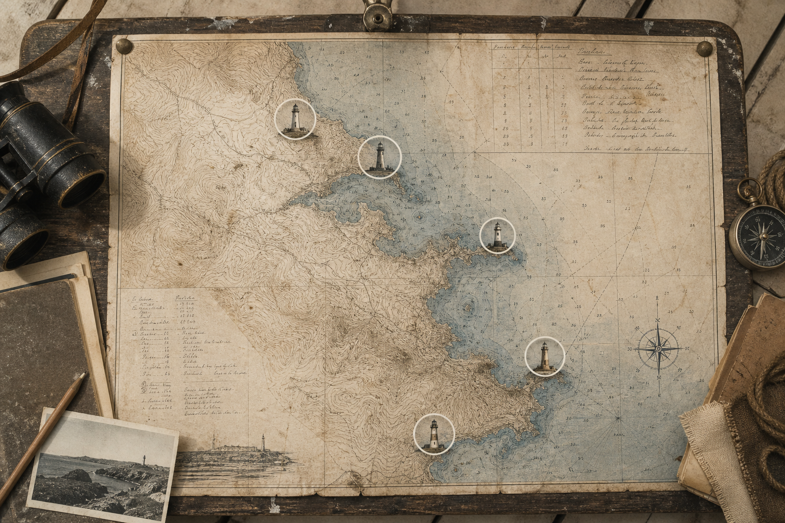
Visit Notes
Practical questions about preserved towers
Can I visit every tower listed on the map?
Not always. Some towers are publicly accessible, while others are view-only from nearby paths or roads; each map entry notes the current access expectation.
What does “preserved” mean in this guide?
Here it means the structure still exists in recognizable form and is documented by local heritage records, even when lighting equipment is no longer operational.
Should I expect archival-level photography at each location?
Conditions vary by weather, season, and sightline; for verified historical imagery, browse the archive collections.
Does the map cover the full coastline?
The scope is the northern coast region defined by this project; adjacent districts may appear in notes but are not mapped as core entries.
How are the historical notes written and sourced?
Notes are concise editorial summaries grounded in public records, local histories, and keeper accounts; for deeper context, continue to the stories page.